 Image 1 of 3
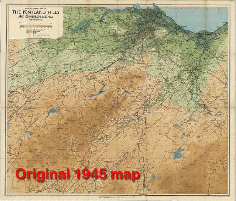 Image 2 of 3
 Image 3 of 3
A classic 1945 map of the Pentland Hills, revived with modern elevation data.
Available from December 2025, initially exclusively from the below selected physical outlets in the Edinburgh area.
Cobbs at Craigdon Mountain Sports
10% of sales of this map are donated to the Friends of The Pentlands charity, to support their volunteering activities.
Keep an eye on our website for updates on when it will become available online in 2026.
This exciting restoration project set out to give new life to a classic work by the renowned Edinburgh cartographers, John Bartholomew & Son Ltd. Working in close partnership with John Bartholomew, a paper original from the National Library of Scotland was carefully scanned, cleaned, and digitally restored.
The restored map was enhanced with modern satellite elevation data. A digital “sunlight” effect was then cast across the landscape, creating a subtle 3D appearance. Achieving this required extensive experimentation with light, colour, and detail, followed by multiple test prints and refinements to ensure accuracy and quality.
The enhanced map will be available in A1 size (841 x 594 mm), both framed and unframed.